SeaReader 1.6 includes many minor changes and bug fixes. New Edition was released September 2023.
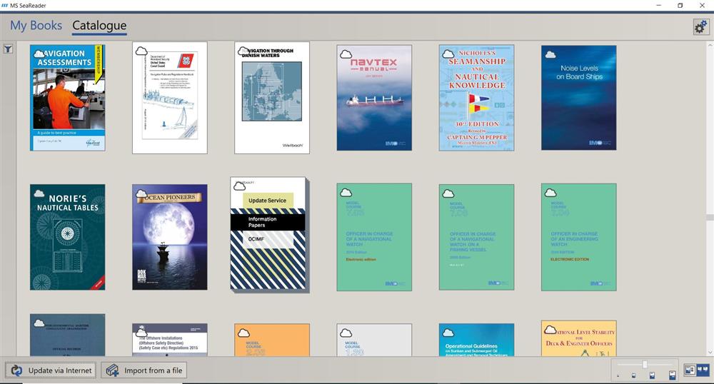
SeaReader is a digital technical catalogue for use on board vessels or in the office. It stores all of the publications that are needed on board and displays them in a digital format that is fast and easy to use.
New Editions
Publications that are in the announcements section of the distributor portal will also appear as “New Publications” in SeaReader. They will be at the top of the Catalogue view and be marked with a yellow star.
Offline Mode
SeaReader can now operate without any internet connection. The user must provide their distributor with an Activation file from the settings window of a SeaReader client.
Custom Notes
Users are now able to add their own custom notes to the publications inside SeaReader. These notes can then be searched for and the user can jump to the page for easy access to important content. Notes can also be exported and shared to other users. This will allow educators to share premade notes with students or shipping companies to indicate important items of text in a publication.
eBooks are available to purchase individually or in bulk and once installed, the SeaReader is easy to use.
The digital library is easy to access and update and you don’t need to be online to access the publications. SeaReader makes compliance inspections easy by having the latest mandatory publications on board at all times.
The shipping costs and administration associated with maintaining a paper library are removed - there are no physical books to ship and the entire library is updated with the click of a button.
SeaReader contains Flag State Regulations from Azerbaijan, Bahamas, Canada, Cayman Islands, Cyprus, Denmark, Hong Kong, Isle of Man, Liberia, Malta, Marshall Islands, Netherlands, Norway, Panama, Singapore, United Kingdom, USA and Red Ensign Group. Included e-books from IMO, Brown, Son & Ferguson, Imray, and a growing list of other maritime publishers.
SeaReader keeps the administrative work on board to a minimum as the latest set of publications are always available.
The easy to use system makes it quick and easy to see what books are on board the vessel. One annual licence provides access to paid for ebooks on two separate PCs.
SeaReader is simple, very easy and intuitive to use. With one-click updating and filtered search results, it is quick and easy to find the information you need. There is no need for additional work to make sure your vessel is flag state compliant, as SeaReader does this for you.
Key features
| Full digital technical library | IMO and flag state approved |
| Quick and easy to use and update | Easily access certificates for inspections |
| Removes shipping costs of paper library | No unlocking |
| Compliance made easy | Reduces administration on board |
| New books added regularly | Online and offline updating |
| Filtered searching | Windows-only, Macs are not supported |
| Offline Mode | Custom Notes |
Windows-only software.
As a Mac user you will need to use a Windows emulator (e.g., Boot Camp or Parallels Desktop) to use the MS SeaReader.
Boot Camp is a built-in tool that supports Dual-boot on Mac. It is accessible in the Utilities under the name Boot Camp Assistant. This emulator lets you have both Windows and Mac installed on the same disk and run them. You can either run Windows or Mac at a time and the other OS or its folders cannot be accessed. To get started with Boot Camp Assistant on Mac please see the following link.
Minimum System Requirements
• Windows PC with Windows version 10 or 11
• 8 GB RAM. 15GB hard disk space
• HD and above resolutions 1360x768 (minimum 1024x720)
• Minimum .NET 6.0 Desktop Runtime
• Internet connection needed for installation
https://support.apple.com/en-gb/guide/bootcamp-assistant/welcome/mac